The Sentier du Ségala offers a stage of approximately 44 kilometers from Ambialet-Saint-Cirgue to Pampelonne, in the heart of a landscape shaped by agriculture.
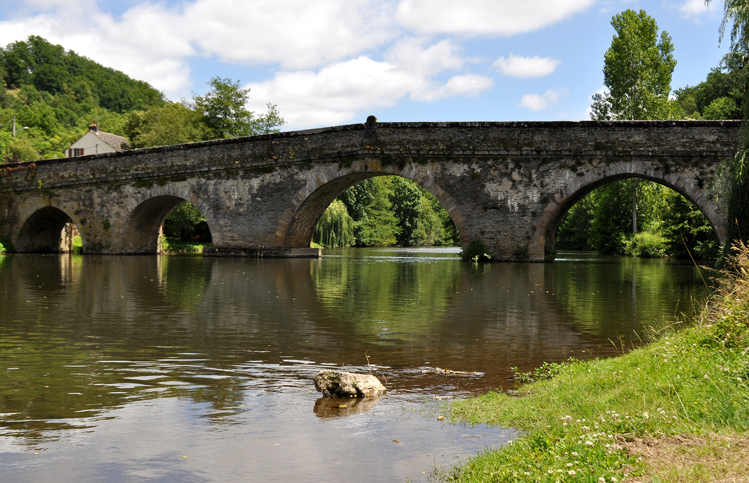
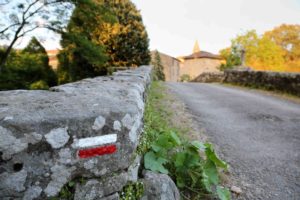
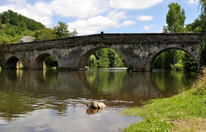
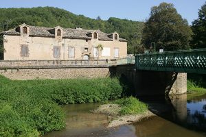
About halfway through, don’t miss the viewpoint of Puy Saint-Georges and Castelnau-de-Levis. You will cross the Maux bridge, a bridge located on the very old road to Rodez.
Détail
This 15,5 km stage, between the Cérou and Viaur valleys, crosses the Ségur plateau.
Détail
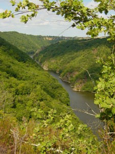
This footpath takes you into one of the wildest parts of the Viaur Valley between Tanus and Saint-Martin-Laguépie.
On your travels you’ll see the treasures that glitter on the craggy slopes: relics of villages and castles, Romanesque chapels and more.
Détail
A 232 km path into the incredibles landscapes of Tarn.
Détail

This week-long trek introduces you to the contrasting scenery in Carmausin-Ségala as you hike the GR36 and Gorges du Viaur GRP trails.
Détail
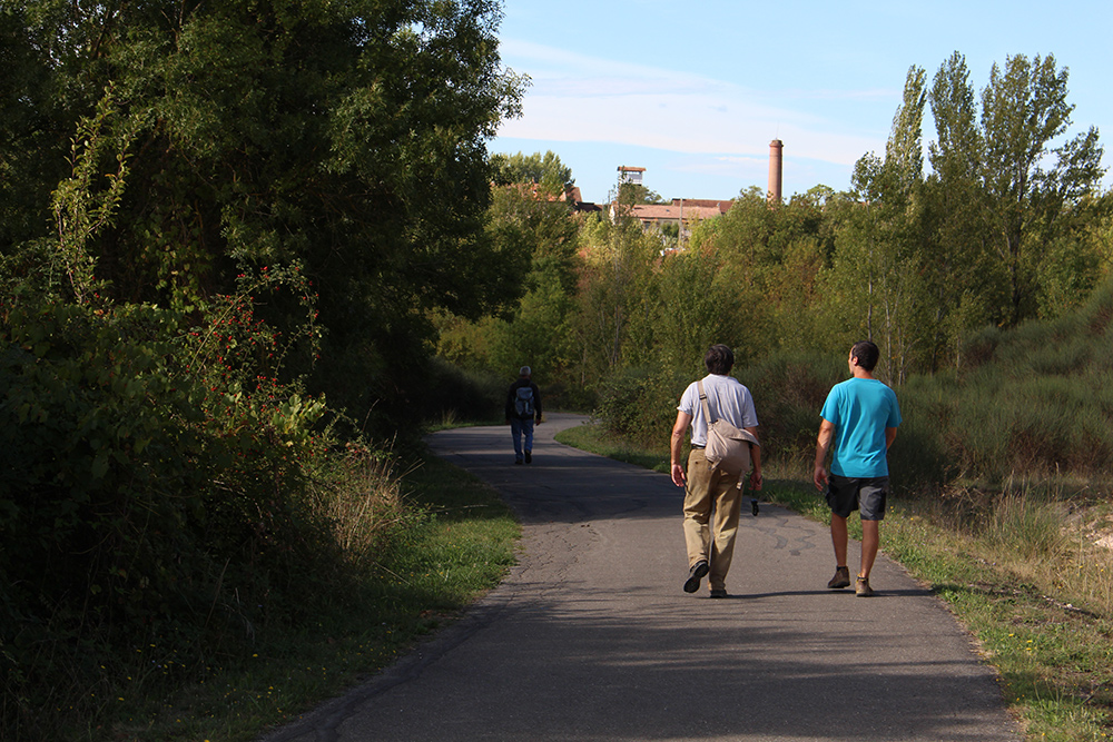
 Trail passable on foot or by bike. The greenway connects Albi to Carmaux via Cap’Découverte.
Détail
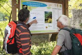
How to recognise the different essences of the Viaur Valley? An arranged path of 5km will lead you into the bottom of the Valley, along the river for a enjoyable promenade.
Détail
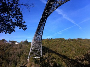
This trail leads you to encounter one of the Viaur valley’s symbols : the railway viaduct of the Viaur. But it won’t be the only discovery you’ll make on your way along the Viaur. You’ll see, particularly, the remains of a village today abandoned with its tower and its fountain.
Détail
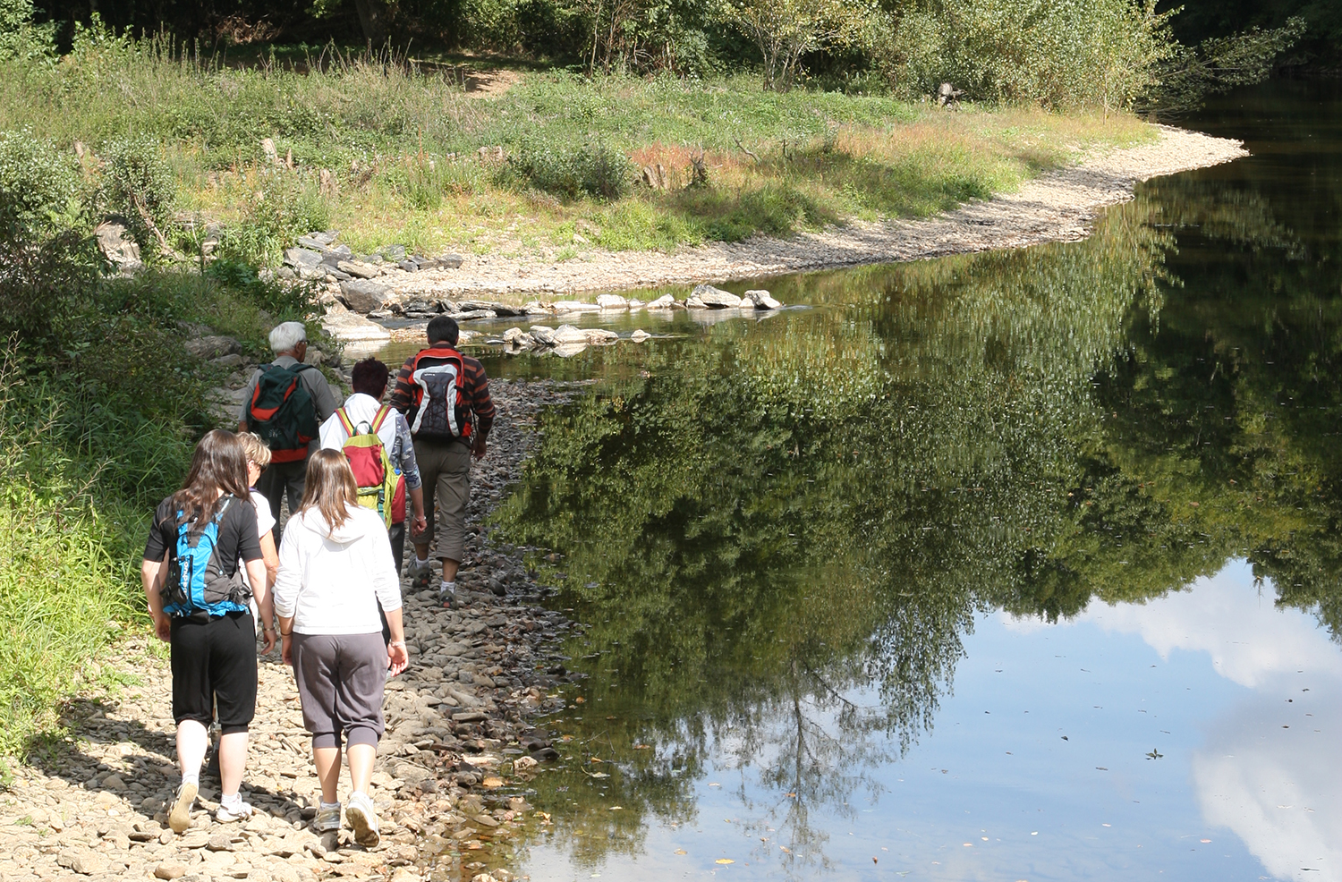
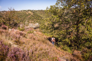
 Between the Ségala’s plateau and the Viaur valley’s meanderings, you’ll proceed between land and water. This hike will offer wonderful views on the valley. Careful, in case of rains or floods, it is better not to go on this tour (tricky passage on the Viaur bank and at stone level).
Détail
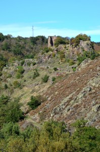
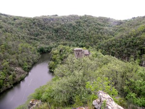
 Bucolic hike around the rocky peak of Thuriès, where the castle tower still proudly dominates on the Viaur. Why not explored the site of Thuriès, today secured ? An advice : avoid to enter into this walk during the high-water period.
Détail
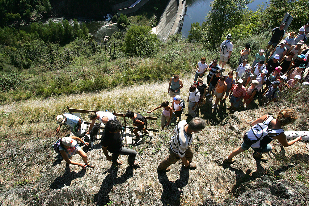
 This walk, made for families, will surprised you with its fantastic view on Thuriès castle, the dam and the Viaur valley. You’ll go along the artificial lake’s border and you’ll go back up to the undergrowth. In Pampelonne, keep your eyes peeled and you will discover the traditional little patrimony : secador (chestnuts dryer), wells, dovecotes…
Détail
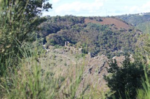
 Between moors, pastures and forests, this hike will plunge you into the wild and mysterious world of the Viaur valley. You’ll go to encounter the two pearls of the valley : the church and the abandoned village of Las Planques and the feudal site of Thuriès. On the road, the panoramas on the gorges and the rolling plateau of the Ségala will charm experienced hikers. Two starting points are suggested for this path : from Pampelonne Foirail’s square or from Las Planques car park.
Détail
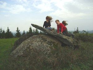 Crespin is a beautiful village laid on a rocky headland allowing to embrace the horizon until the Albigensen plains. The stream, with the lovely name of “Andouquette”, runs down to the valley bottom. Throughout this ramble, you will stroll between green grasslands and groves, and you will discover the ruins of Andouque castle, the mills vestiges, Peyre-Levada dolmen : so many testimonies of our ancestors’ passage since time immemorial.
Détail
 This hike on the hills surrounding Monestiés offers, a beautiful view on the medieval village and on the Ségala’s valleys called « puechs »… After passing through the Lauzeral forest, you will roam in the Cérou valley’s meanderings, by the old railway of Carmaux-Monestiés. Think about taking a torch, you will go through a tunnel to reach Monestiés.
Détail
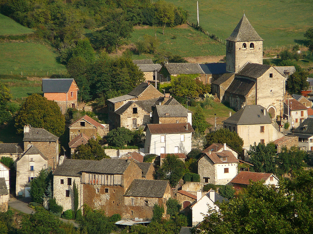
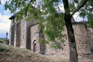
 On the Cérou left bank, stream flows from Aveyron, between the medieval cities of Cordes and Monestiés, rises through woods, the bourg de Salles. Nestle around its church, listed historical monument, shelters four classifyed statues which embody the four vertues. It gives us a glimpse of its historical vestiges. A donjon, few towers today embedded in the facades, scars of the castle and of the fortified wall, prove again, how was life during the Middle Ages.
Détail
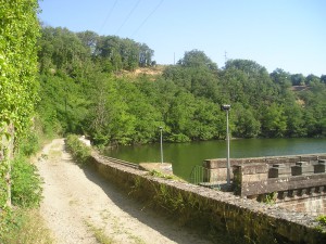
This familial hike around Fontbonne lake will show you its dam, built in the early XXth Century, in order to meet the needs on drinking water of the Carmausin’s basin. This shady tour offers a great variety of landscapes between the Céret valley and the Ségala’s plateau, with a view on the lake. On the Céret, two walkways had been converted to make the river crossing easier for walkers.
Détail
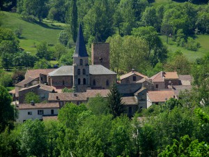
 Perched on its rocky ridge dominating the Viaur valley, Jouqueviel village, from the Occitan « joc », perch, and « veilh », old, has a suitable name. Its castle’s ruins remain testimonies of the feudal life, having bravely resisted to the ravages of time and to assaults during English or Religious wars. During the Second World War, the Viaur valley became a place of resistance. In 1944, the 6th of August, the Nazis attacked the village which was partly plundered and burnt, made 29 victims, both from resistants and civils.
Détail
 At the heart of the plateau, between cultivated meadows and pastures dedicated to cattle breeding, you’ll walk on the whim of narrow paths surrounding by low walls called « Paredous ». Then, it will take you to Suech, Typical village of the Ségala, with its alleys and its big farms… Finally the old railway of Carmaux – Cordes, parallel to the Cérou, will take you back to the starting point.
Détail
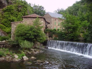
Born on the high plateau of Aveyron, the Viaur valley and its meanderings carry legends, beliefs and popular traditions. It is the Ségala’s soul. Once, the Viaur water mills insured the cereal milling, the mining oil, the linen pressing, the sawing wood. Nowadays, testimonies of the rural and secret life of the valleys remain.
Détail
 This beautiful hike offers a remarkable view on the Cirou Bridge and on the Viaur Valley’s hamlet. Do not hesitate to be curious so you’ll be able to discover, close to the tour, the Pignac mill, restored from 2006 to 2009 by the local council community of the Ségala Carmausin.
Détail

This hiking trail, with a bucolic and wild characteristic, immerses you in an ocean of greenery and freshness. You’ll walk along the peaceful Viaur’s banks and the tortuous Lézert before reaching the plateau for a beautiful view on Mirandol village and its surroundings.
Détail
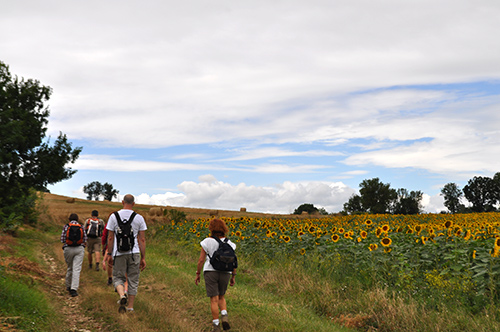
This hike around Villeneuve sur Vère shows you the beauty of the Causse Cordais landscapes. You stroll between white stones, cereal fields and grapvines close to local producers : lentils, oil, brandy and Gaillac wine.
Détail
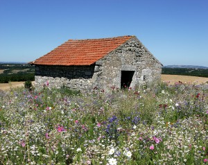
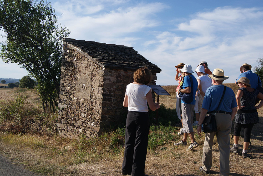 This path guides you accross fields to find about Oustalous, this countryside huts with tile or flagstone (lauze) roof. Some have been restored by the Patrimony Safeguard Company of Pampelonne.
Détail
 How to recognise the different essences of the Viaur Valley ? A converted trail of approximately 5km leads you right at the bottom of the valley, along the river, for a pleasant walk.
Détail
From the Infournats’ chapel, this hike will show you the Viaur Valley through the undergrowth’s changeable moods and through different point of view. You’ll be able to initiate yourself into the discovery of birds thanks to the observation post.
Détail
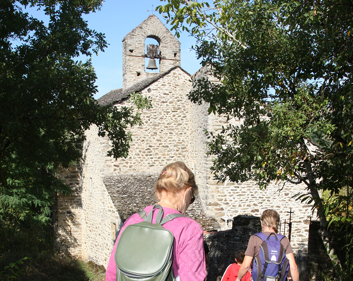
 How did they live in the valley before ? What were the major events which struck the history of Lagarde Viaur, formerly fortified citadel ? This educational and recreational tour leads you at the heart of this picturesque village’s history.
Détail
 Exploited in a traditional way since the XIIIth Century, coal quickly became the « black gold » of Carmaux and of the Ségala’s basin. A 12km thematic tour from Sainte-Gemme village will tell you about this saga.
Détail

From the departmental Mine-Museum, this hiking trail show you the miners and their family’s daily life at work but also in the Homps’ city.
Détail
The Croisade against Albigent… Everyone knows by name this period of history… But what really happened ? What were the striking events ? The pleasant Cérou Valley was the stage of tragic facts…
You will discover this during a 5,5 km walk, punctuated by didactic panels around Salles-sur-Cérou.
Détail
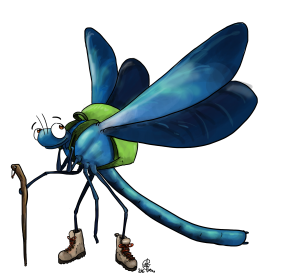
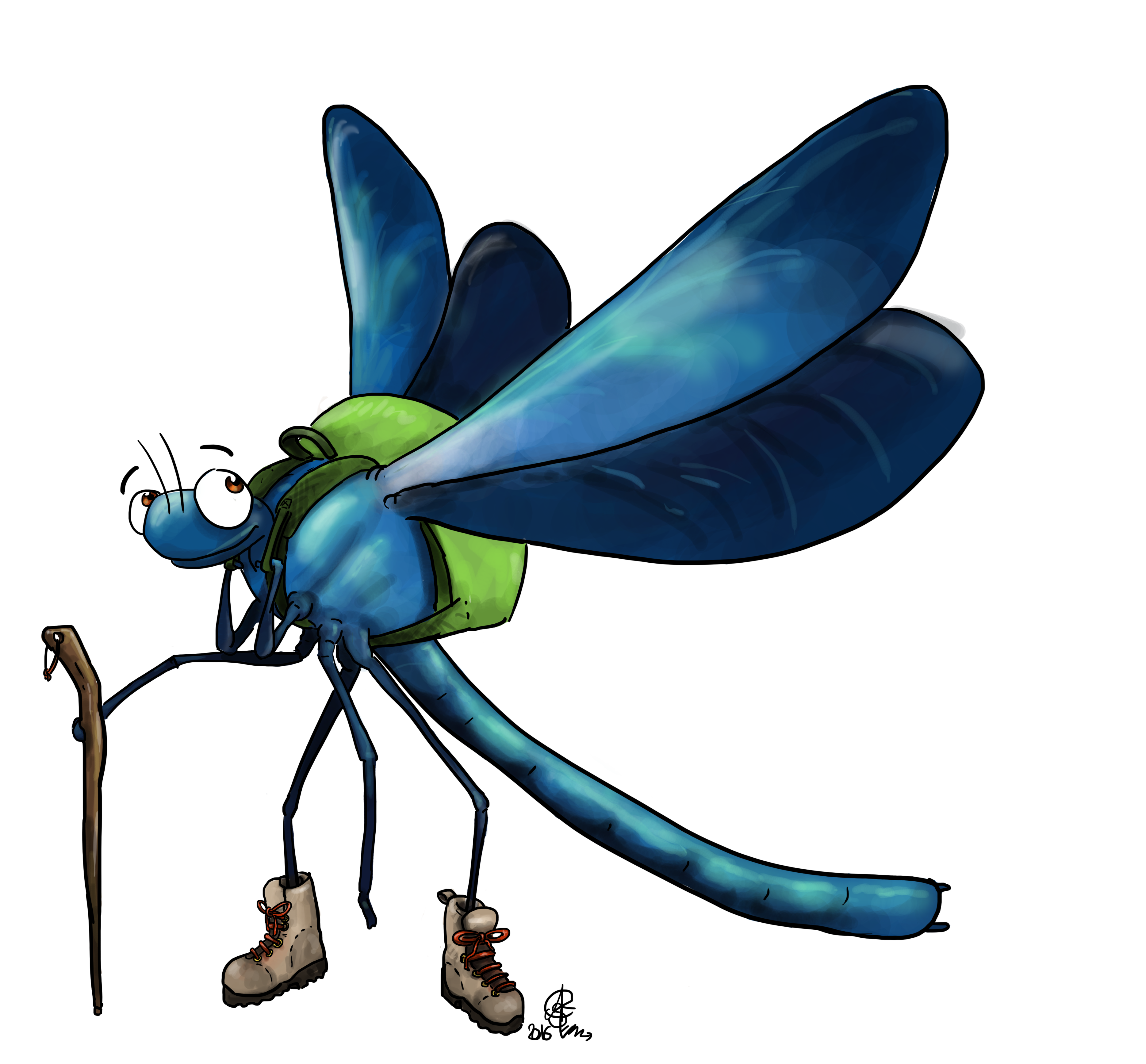
Kingdom of an abundant biodiversity, the Roucarié’s bank welcomes, in particular, many varieties of dragonfly included the blue dragonfly (Calopteryx vierge méridional), chosen as this path’s mascot. This dragonfly will escort the walker during his discovery tour.
In order not to spoil the protected area of the Roucarié, the track marking of the observation stations is composed of wooden cones fixed to the ground. Thanks to a booklet available in the touristic reception centre of Carmaux, Monestiés and Mirandol, you will discover the richness of this path.
Détail
 From glass to coal, from master glassmaker to miner, there is only one step, highlighted by the route. Strolling on the mining land, the walker step was substituted to the movement of the train, full of precious ore.
Détail